Facility
- Home
- Facility
- Automatic Radar Plotting Aids (ARPA)
Automatic Radar Plotting Aids (ARPA)
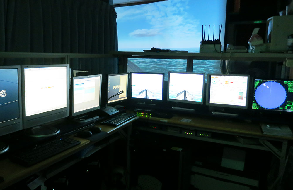
Trainer workstation
Four trainee workstations
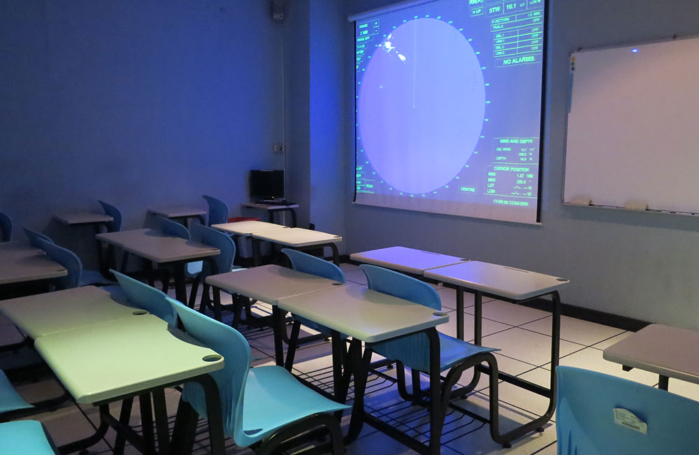
Briefing room
Bridge teamwork
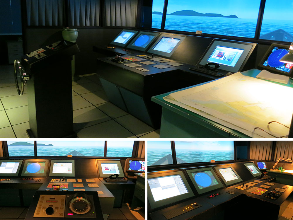
Navigation simulator
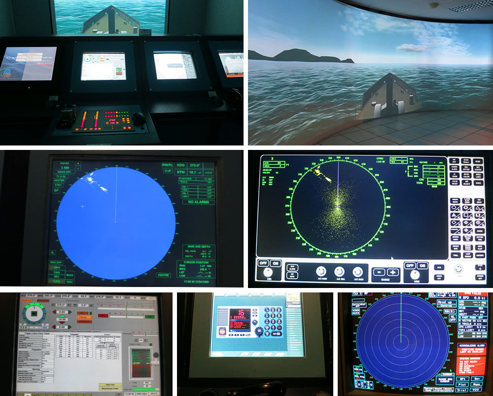
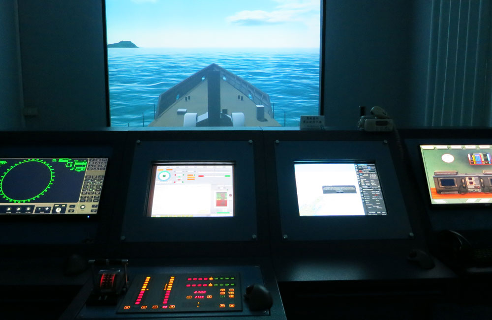
The preceding figure shows simulation of ECDIS, ARPA, engine order telegraph, rudder, display interface of a Head-up Display, and display interface of a navigator. Simulation of ECDIS: The ECDIS with a WGS-84 coordinate system is useful for routing and precise positioning to facilitate obtaining correct chart information and updating chart data.
●Simulation of ARPA: Simulation of real radar operations on ship with Furuno system specifications
●Simulation of engine order telegraph and rudder: the figure on the right shows simulation of engine order telegraph and rudder.
●Simulation of GMDSS: including SART, EPIRB, VHF, MF, HF, TELEX, DSC, NAVTEX, INMARSAT, EGC, etc.
●Simulation of display interface of a Head-up Display: electronic compass, rudder angle indicator, RPM, steerability indicator, wind direction indicator, etc.
●Simulation of display interface of a navigator: including GPS, ECHO Sounder, Doppler Log, flow indicator, etc.

